
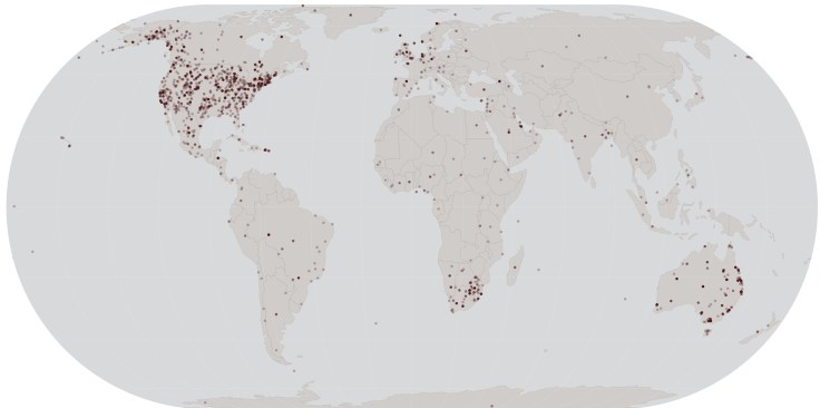
Image: A small public document set ‘spatialized’ using Infoscience’s GeoClassifier algorithm, each dot is a document.
GeoClassifier uses novel techniques to disambiguate – automatically assigning latitude and longitude points for any document. Ready to integrate in a company’s GIS system.
#naturallanguageprocessing #machinelearning
More: contact@infosciencetechnologies.com

Leave a comment