
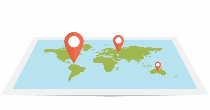
NEW: OpportunityFinder® v4.2 has options to detect 30% more geographical/geobody entities within the body text of documents. These can support spatial and map based search & discovery. Coverage includes from well/boreholes, leads, prospects & plays to fields, deposits, localities, tracts, blocks & licenses to mountains, foldbelts, seamounts and basins. Using state-of-the-art natural language processing and machine learning, documents (and domain evidence in documents) can be precisely geo-located on a map automatically. The algorithm works anywhere in the world without using prior lists of names. Recent findings suggest it can detect significantly more geotags than traditional approaches, inductively uncovering new data points.
contact@infosciencetechnologies.com
#oilandgas #mining #renewables #geothermal #hydrogeology

Leave a comment